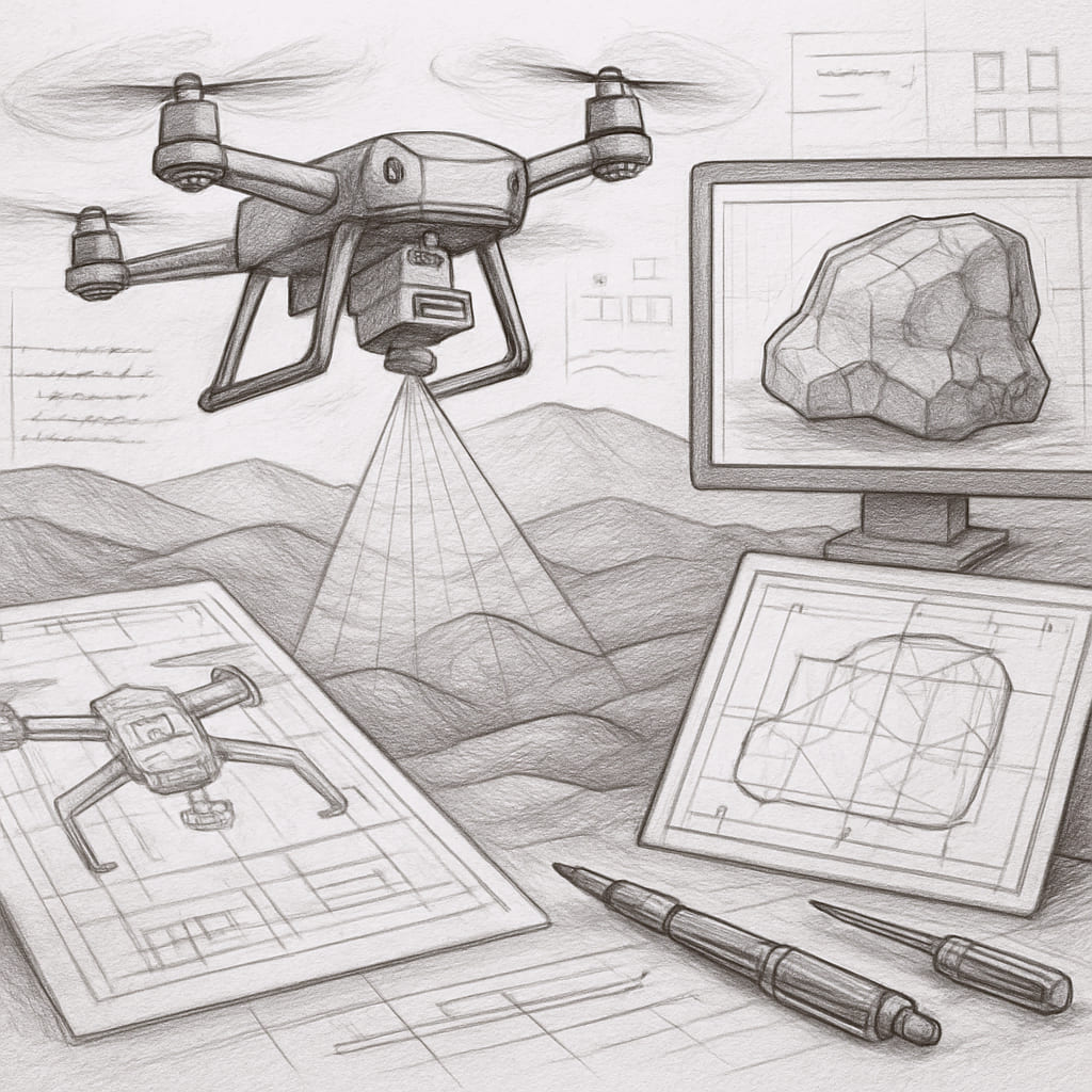
From smart cities to mining camps, the civil and natural resource sector benefits from spatial digitization. Technologies such as drones and laser scanners offer real-time data to support zoning, infrastructure health monitoring, and construction verification.
Used in surveying, terrain mapping, and progress monitoring.
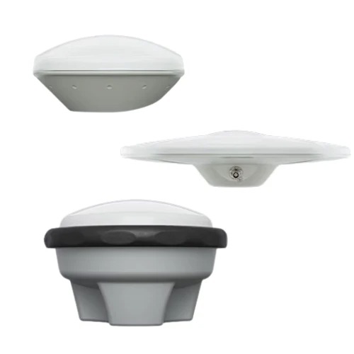
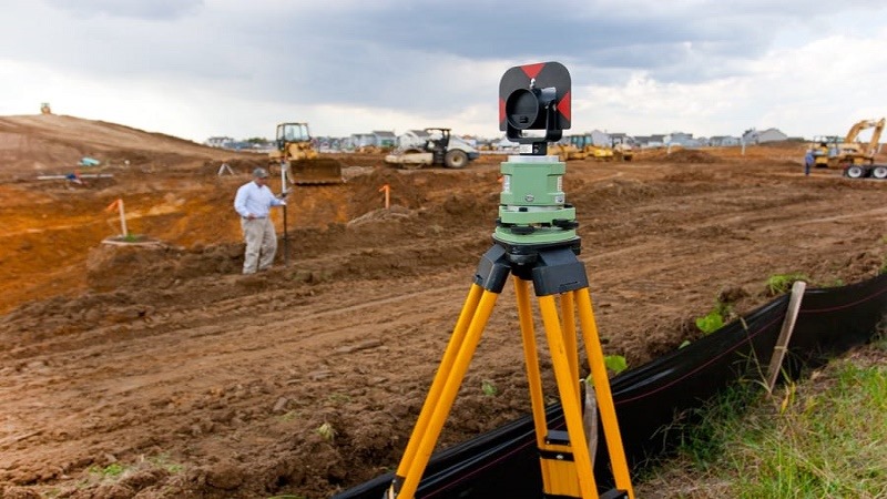
Surveying Instruments
Total stations and GNSS receivers for layout and monitoring.
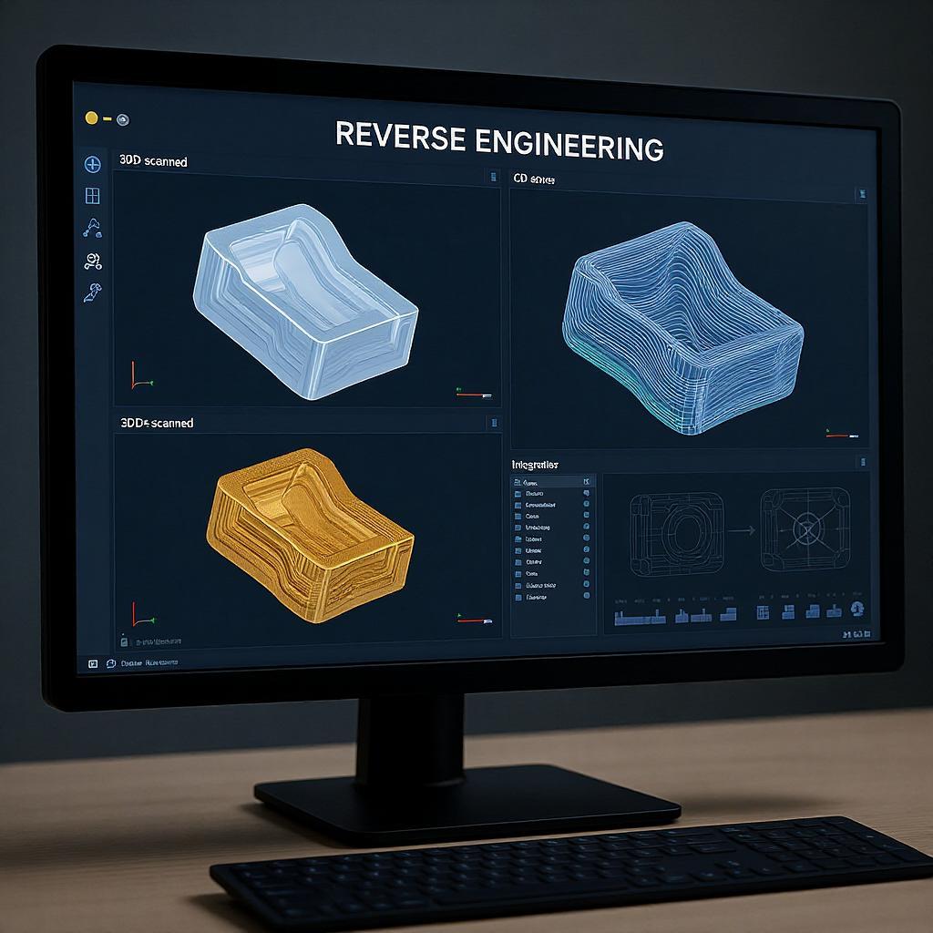
3D Scanners
Capture bridges, buildings, tunnels, and terrain features for BIM modeling.
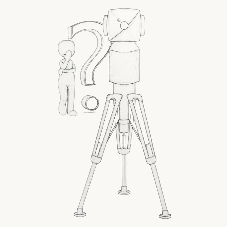
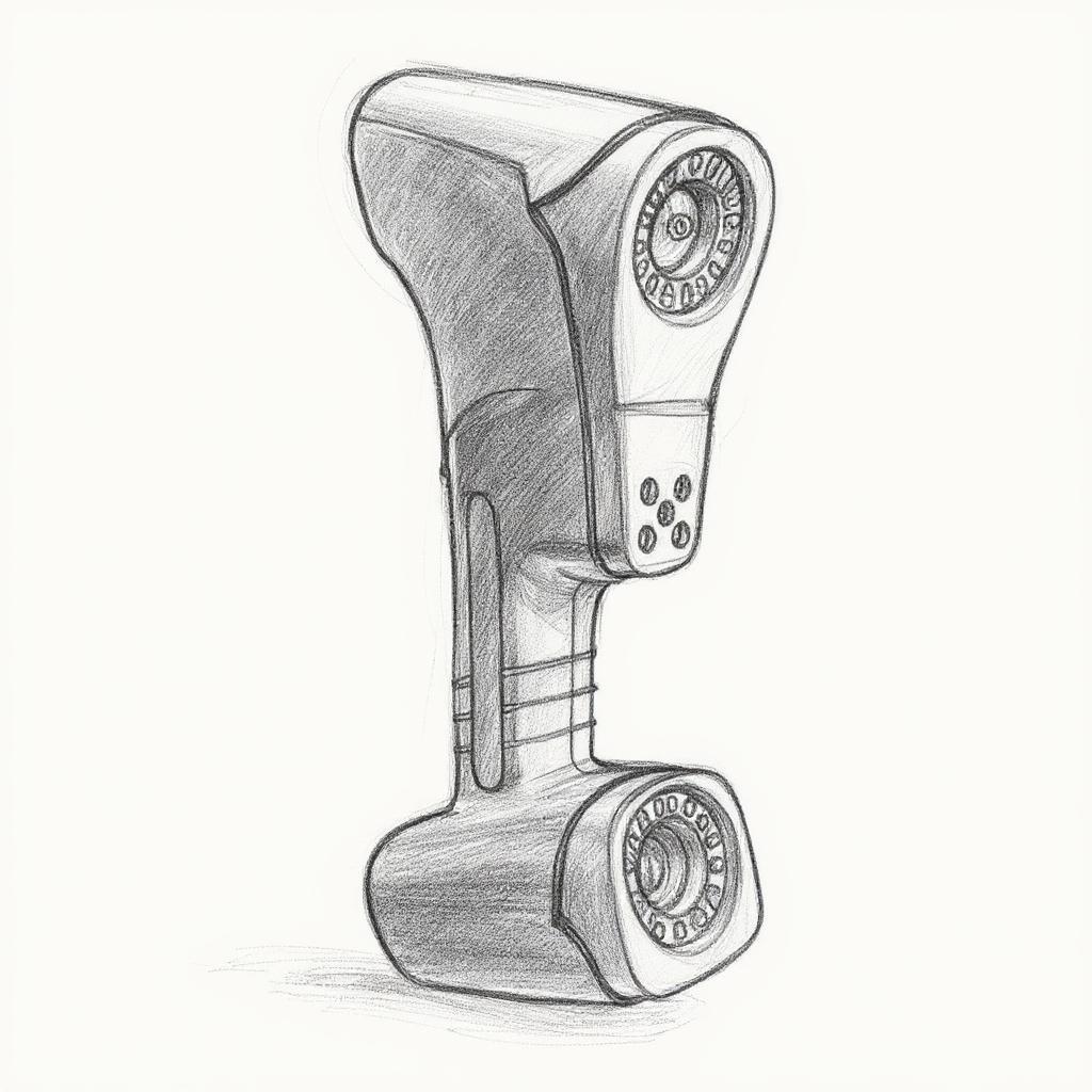
Laser Trackers
Align structural components like precast walls and girders.
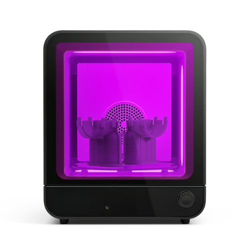
3D Printers
Build architectural scale models for client visualization.
Our Services
Scan-to-BIM (3D Scanners):
Converts existing structures into intelligent BIM models.
3D Topography & Analysis (Drones, Scanners)
Enables slope, drainage, and excavation planning.
Legacy Plan Conversion (Scanners & Software):
Converts paper or PDF drawings into CAD.
Benefits
Prevents rework with accurate as-built validation
Digitally preserves architectural heritage
Accelerates project approvals with 3D visualization
Case Study
A heritage conservation firm scanned a colonial building and used the data for structural restoration. Engineers used the 3D model to plan reinforcements without damaging heritage structures.
Product
Key Applications
Advantages
3D Laser Scanners
Building inspection, tunnel scans, façade analysis
Full 3D capture, high accuracy, non-contact
Laser Trackers
Alignment of bridges, cranes, wind turbines
Large-scale, sub-mm precision
Drones with LiDAR
Terrain mapping, volumetric analysis, site surveying
Quick, safe, scalable coverage
Portable CMMs
Onsite machinery component validation
Mobile and rugged for harsh environments
VMMs
Precast part inspection (flatness, thickness)
Ideal for dimensional validation of prefabs
Let’s get started
Caliylark Technologies – Your Trusted Partner in Precision Engineering and 3D Solutions